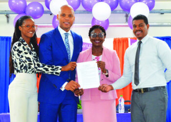

A GPS station, operated by Continuously Operating Caribbean GPS Observation Network (COCOnet), has been commissioned at the Clayton J. Lloyd International Airport in Anguilla. It is part of a regional project to monitor and predict earthquakes, hurricanes, floods, volcanoes, tsunamis and landslides on the island and in the Pan-Caribbean region.
The commissioning of the station on Thursday, April 18, by Minister of Home Affairs, Jerome Roberts,followed the recent signing of a Memorandum of Understanding by the Anguilla Government. The MOU was signed with UNAVCO a non-profit university-governed consortium which facilitates geosciences research and education, and the representative of COCOnet. The project, which enhances the scientific understanding of the Caribbean tectonic plate, is being funded by the US National Science Foundation.
In addition the above purpose, the project will also provide free, open-format data for researchers, educators, students and the private sector for a variety of purposes. These include science research, local surveying, infrastructure monitoring, event response, and the creation of a comprehensive register of land-use. The equipment will also act as an observation station that can be used for better understanding and forecasting airborne moisture associated with the annual hurricane cycle. In addition, it will act as a meteorological station that will measure wind speed, direction, humidity and precipitation.
In commissioning the GPS station, Minister Jerome Roberts thanked UNAVCO and COCOnet for including Anguilla in the project. He said the information provided by the equipment would be of much benefit to the island and available on the website to all persons.
John Sandu, one of the technicians who set up the station, said there were about thirty GPS satellites in the atmosphere which measure a point on the station. “When a tectonic event happens, the antenna records that date so we know exactly how much ground displacement has happened during an earthquake,” he explained. “We can tell how big it is and in conjunction with site monitors, located throughout the Caribbean, we can give people early warnings on tsunamis and decide where we need to send disaster preparedness personnel.”
The COCOnetproject is under the direction of Dr. Meghan Miller, representative of UNAVCO. The principal contacts for the Government of Anguilla and the Anguilla Air and Seaports Authority (AASPA) are Gifford Connor, Director of Lands and Surveys; Leslie Jasen Hodge, Director-designate of that department; Remington Lake, Acting CEO of AASPA and Lindon Hodge, Acting Airport Manager.


