")
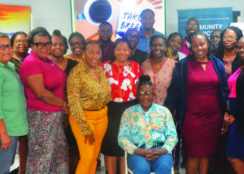
Two government agencies have benefitted from recent attachments in GIS and Remote Sensing in the United Kingdom.
The trip consisted of 5 days of Geographical Information Systems (GIS) – Remote Sensing Training at Environment Systems Headquarters in Aberystwyth, Wales.

Those in attendance were,from the Department of the Environment – Mr. Calvin Samuel – Deputy Director Strategic Research Programmes and Mr. Clint Lake Coordinator Scientific Research and Technology Development,and from the Department of Physical Planning – Mr. Julian Hughes, Senior GIS Officer.
") The working session formed part of a Joint Nature Conservation Committee-awarded project on Habitat Mapping which has been ongoing for the past year.
The working session formed part of a Joint Nature Conservation Committee-awarded project on Habitat Mapping which has been ongoing for the past year.
While in Wales, the team was exposed to different Remote Sensing concepts including different imagery types, segmentation and remote sensing classifications. Procedures and applications used to make remote sensing data useful were also involved in the training course. These procedures included pre-processing, geo-rectification and sourcing errors therefore resulting in the data being more accurate.
The team was also introduced and exposed to various remote sensing technologies including Multispectral &Hyperspectral, Light Detection and Ranging (Lidar), Radar and Unmanned Aerial Vehicles (UAV’s). A few applications where remote sensing technologies were used included vegetation monitoring, crop health & productivity, stress and disease detection in vegetation and development of mineral maps. Broader more strategic applications included, but not limited to environmental management, Terrestrial habitat maps, marine/benthic habitat maps, precision agriculture and pollutant mapping.
Among the expected outcomes for the project are:
1. A very detailed Habitat map for the island of Anguilla showing general classes of habitats.
2. A series of maps that can be used by various Government offices in a strategic decision making process.
3. Use of Earth Observation (EO) data for green economy modeling and monitoring along with ecological monitoring.
4. Knowledge transfer and training resulting in the needed skillsets being available locally for future projects and updating of maps
5. Relevant documentation to accompany maps.
The team described the working visit as being extremely productive and timely with regards to, GIS management, habitat mapping and ecosystem management. They indicated that several applications using remote sensing could be implemented by other agencies within Government.
One such application is the use of earth observation data and its analysis which can be further used to create bathymetric maps and benthic surveys for the coastal and marine habitats. The Department is also acquiring more advanced imagery which can assist in mapping the changes in coastal morphology over a series of years and making this data available.
Such information and maps can be used in applications such as integrated coastal zone management, ports and harbour development and ocean governance. Further steps include continued development of the habitat map, further mapping procedures to produce maps more catered to disaster management along with further training and knowledge for open source software for everyday operational applications.
– Press Release
(Published without editing by The Anguillian newspaper.)